Storms expected in Saskatchewan/Manitoba tonight, tomorrow & Thursday
- NZP Chasers

- Jul 16, 2019
- 2 min read
We hope you have been enjoying the quite weather for the last few days because some more storms are expected overnight tonight into tomorrow for Saskatchewan and Manitoba. These are not expected to be overly menacing, but storms should reach severe levels across the Prairies.
Tonight and Wednesday
Threat level: LOW
Confidence: HIGH (based on model trends)
Main threats: SMALL HAIL // HEAVY DOWNPOURS // ISOLATED STRONG WINDS
Timing: overnight Tuesday for Saskatchewan/Manitoba and Wednesday afternoon
Areas effected: Moosomin, Esterhazy (in SK) // Virden, Russell, Melita, Portage La Prairie, Brandon, Carman (in Manitoba). Winnipeg area could see a strong storm as well
Watch expected: severe thunderstorm watch
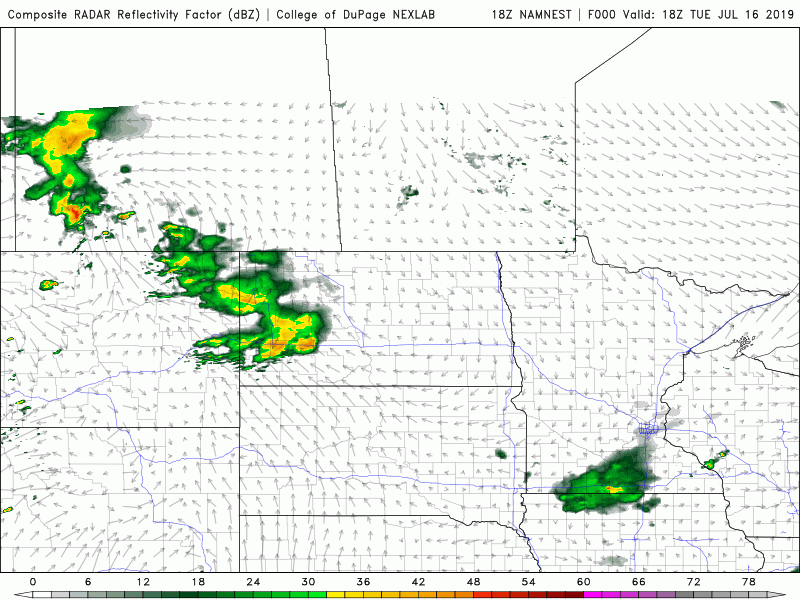
Discussion: a trough of low pressure will trigger some storms overnight in southern SK/MB. Storms are expected to redevelop in the afternoon along a trough of low pressure (in orange above) near the MB/SK border and move east-southeast into southern Manitoba. These could reach severe status and loose strength with the lost of daytime heating in south-central Manitoba. A pre-frontal storm may develop near Winnipeg as well and could be potentially on the stronger side.
From the PASPC:
Saskatchewan
Area(s): Southeast
Timing: Wednesday afternoon and evening
Threats: Hail 2-4 cm, wind gusts to 90 km/h, and heavy rain
A trough of low pressure will bring scattered thunderstorms to southeastern Saskatchewan early Wednesday afternoon. With daytime heating and upper level cooling, a few of these thunderstorms may become severe. A few funnel clouds may also be possible in the afternoon hours. Activity will move into Manitoba in the evening, though isolated non-severe thunderstorms may track into western areas through the night.
Manitoba
Area(s): Southwest
Timing: Wednesday afternoon and evening
Threats: Hail 2-4 cm, wind gusts to 90 km/h, and heavy rain
A trough of low pressure will bring scattered thunderstorms to southwestern Manitoba Wednesday afternoon and evening. With daytime heating and upper level cooling, a few of these thunderstorms may become severe. Activity will weaken by late evening but isolated non-severe thunderstorms may continue eastward into the night.
Thursday
Threat level: MODERATE
Confidence: MODERATE (based on model trends)
Main threats: LARGE HAIL // HEAVY DOWNPOURS // ISOLATED STRONG WINDS // ISOLATED TORNADOES POSSIBLE
Timing: Thursday afternoon (4-7pm CDT)
Areas effected: Portage La Prairie, Sandy Bay, Winnipeg, Carman, Winkler, Neepawa, Russell, Swan River (in Manitoba) // Yorkton, Kirpling, Melville, Moosomin (in Saskatchewan)
Watch expected: severe thunderstorm watch
Discussion: an occluded front will span from Manitoba to roughly Regina, SK and a cold front from SW Manitoba into North Dakota. Severe storms are expected to initiate along the occluded front (in purple) near the SK/MB border Thursday afternoon and along the pseudo cold front in south-central Manitoba. Areas from a Sandy Bay-Steinbach-Winkler line could see an isolated tornado threat conditional to storms remaining discrete supercells.
NEXT FORECAST UPDATE: Wednesday afternoon


Comments