
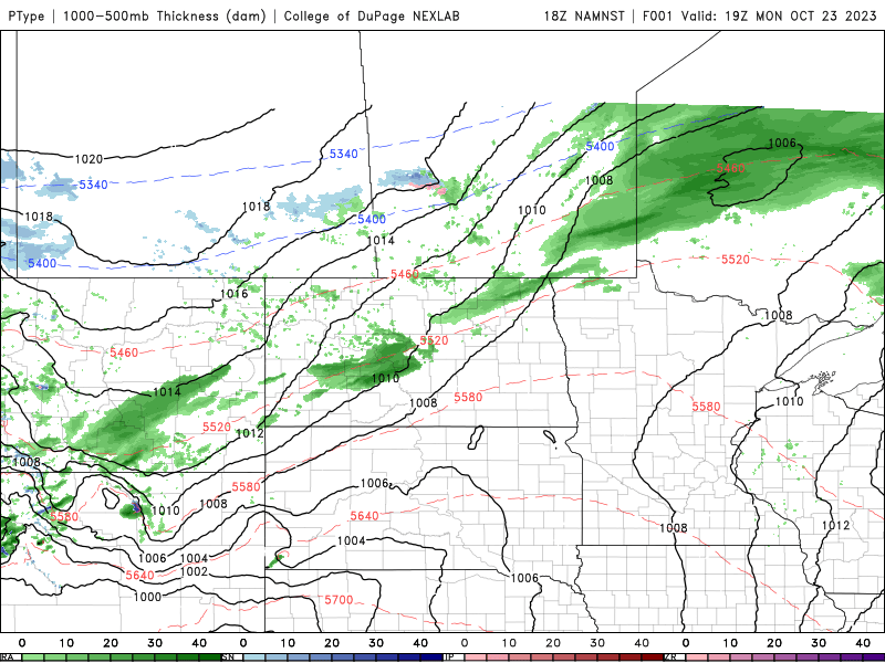
Winter is here! Alberta is getting their first taste of winter today as several areas are reporting accumulating snowfall.

A snowfall warning remains in effect across parts of Alberta and Saskatchewan:

Snowfall Warning (red)
3:48 PM MDT Monday 23 October 2023
Heavy snowfall is expected tonight into tomorrow with total amounts of 10 to 15 cm. Snowfall amounts may vary significantly as some of the snow will melt on contact with the warm ground. Snow will end tonight over central Alberta tonight and on Tuesday for southern parts of the province. Visibility may be suddenly reduced at times in heavy snow. Prepare for quickly changing and deteriorating travel conditions. If visibility is reduced while driving, slow down, watch for tail lights ahead and be prepared to stop. Please continue to monitor alerts and forecasts issued by Environment Canada. To report severe weather, send an email to ABstorm@ec.gc.ca or tweet reports using #ABStorm.
For Manitoba, a special weather statement remains in effect, but the Alberta Clipper is expected to move east across the Prairies and Northern Plains.
Special Weather Statement (in grey)
4:15 PM CDT Monday 23 October 2023
Over the next few days, southern Manitoba will experience a dramatic shift towards colder and wintery conditions including plunging temperatures and accumulating snow. Highs will drop to the single digits through much of the week before colder air moves in late week with temperatures in the -5 to -10 degree range likely by next weekend and into Halloween. The most significant aspect of this seasonal change will the potential for accumulating snowfall. A system moving in from Montana on Wednesday looks to bring a swath of 5 to 10 cm of snow for extreme southwestern Manitoba before moving east over the Red River Valley Wednesday night. Another system along the same track is expected to move over southern Manitoba Thursday afternoon and into Friday but exact snowfall amounts remain uncertain at this time. This early snowfall is a reminder that winter is just around the corner, and residents are encouraged to be prepared for winter driving conditions. Be sure to stay tuned to weather.gc.ca for updated watches, warnings and forecasts through the week. Please continue to monitor alerts and forecasts issued by Environment Canada. To report severe weather, send an email to MBstorm@ec.gc.ca or tweet reports using #MBStorm.

While there are still some uncertainties and models are likely overdoing the amount of accumulations, the general consensus is that most of the snowfall will occur south of the border into North Dakota. Below is a discussion from the NWS Bismarck:
"Monday afternoon update - probabilities for accumulating snow have increased quite a bit with the latest data. The potential for at least 6” of snow from late Tuesday night through late Thursday night is high (70-90%) across parts of western into north central North Dakota. Across this same area, there is a medium (40-50%) chance of at least 12” of snow throughout the entire period. On Wednesday, snow will mainly be limited to northwest North Dakota, while the remainder of the area will either see a rain-snow mix or just rain. There could be a break in the snow Wednesday night before a round of heavier snow impacts the area Thursday through late Thursday night. Stay tuned for updates!"

...WINTER STORM WATCH IN EFFECT FROM LATE TUESDAY NIGHT THROUGH LATE
THURSDAY NIGHT...

* WHAT...Heavy snow possible. There is a 60 to 80 percent chance of
  6 or more inches of snow.

* WHERE...Portions of western into north central North Dakota.

* WHEN...From late Tuesday night through late Thursday night.

* IMPACTS...Travel could be very difficult. The hazardous conditions
  could impact the Wednesday and Thursday commutes.

* ADDITIONAL DETAILS...There may be a break in the snow Wednesday
  night before a round of heavier snow impacts most of western and
  central North Dakota Thursday through Thursday night.

For the latest ECCC warnings, please go here: https://www.weather.gc.ca/?zoom=6¢er=50.69757569,-103.07544265&alertTableFilterProv=MB