
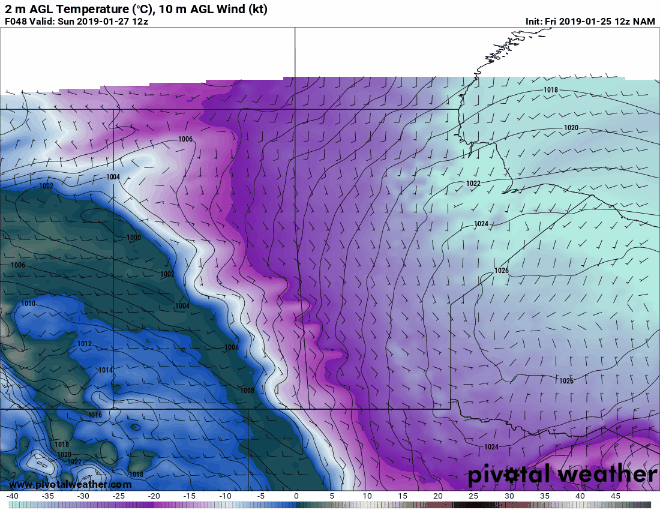
Latest model trends have been showing an eastern shift to the Low pressure that is set to bring snowfall and strong winds to the Prairie Provinces this weekend. While models are still not agreeing completely with each other at this time, there seems to be general agreement showing an intensifying Clipper that should bring some decent snowfall to parts of southwestern Manitoba and Saskatchewan.


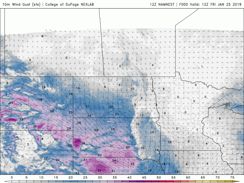
While it's almost impossible to be accurate with snowfall total right now, areas along the Saskatchewan/Manitoba border and the Manitoba Escarpment could see a decent amount of snow in the 15-20cm range. The wind gusts will be the main show with this system (see below). Strong wind gusts in the 60-80kmh range will be possible in Saskatchewan that will easily blow around the fresh snow.
Love what we do? Become a supporter here: https://www.patreon.com/NZPChasers