
Yesterday was a busy day of active weather for parts of Manitoba, Alberta and Saskatchewan with numerous severe thunderstorms roaming the Prairie Provinces.
The next several days will remain active across the Prairies, especially for parts of Manitoba. Below is the daily breakdown of the expected severe weather.
Today June 28, 2020
Threat level: HIGH
Confidence: MODERATE (based on model agreements)
Expected hazards: LARGE HAIL // DAMAGING WINDS // TORNADOES
Locations impacted: Southwestern Manitoba to Lake Manitoba: Brandon, Melita, Souris, Virden, Neepawa, Sandy Bay and surroundings.
Timing: 3pm CDT to 1am
Expected watch(s): Tornado watch & severe thunderstorm watches

Manitoba
Area(s): Southern
Timing: Sunday afternoon, evening, and overnight
Threats: 3-5 cm hail, 90 km/h wind gusts, 50-100 mm of rain, small chance of a tornado in the far southwest

Thunderstorms will form Sunday afternoon in southeast Saskatchewan and move into southwestern Manitoba, posing the risk of mainly large hail and damaging winds.There is a slight risk a tornado could form in southwesternmost areas of the province. Later in the evening and the overnight period, slow-moving thunderstorms over much of southern Manitoba will present a risk of excessive rainfall.

Discussion: supercells are expected to develop on or near the SK/MB border near peak heating with a threat for all hazards possible before a merger into a line, which would bring more of a damaging winds and heavy rain threat. Storms are expected to develop on a stationary front across southwestern Manitoba around the 3-4pm time frame. During this time, tornadoes will be possible on any storms that can remain isolated and have a sustained updraft, before line merger occurs with the lost of daytime heating ~7pm. Therefore, the time window between 4-7pm will need to be monitored closely for potential tornadic supercells from the Brandon-Virden-Melita corridor. We think the threat level is high, but conditional on storms remaining isolated. The amount of instability (well into the 3000-4500 J/kg realm) this afternoon and the modest shear will bring the potential for some very large hail across southwestern Manitoba, some of which could reach baseball-size. While model confidence is not high, the potential is there for a significant severe weather day across Manitoba.
Monday June 29, 2020
Threat level: NONE
Confidence: HIGH (based on model agreements)
Expected hazards: N/A
Locations impacted: N/A
Timing: N/A
Expected watch(s): None
Tuesday June 30, 2020
Threat level: MODERATE
Confidence: LOW (based on model agreements)
Expected hazards: LARGE HAIL // DAMAGING WINDS
Locations impacted: Southwestern Manitoba to Lake Manitoba: Brandon, Melita, Souris, Virden, Neepawa, Sandy Bay, Dauphin and surroundings.
Timing: 10am CDT to 7pm
Expected watch(s): Severe thunderstorm watches
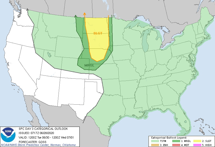
Discussion: strong to severe storms expected to develop along a northward moving warm front across southwestern Manitoba in the early morning hours and move north towards Dauphin through the day. Damaging winds, heavy rain and maybe hail being the main risks.
Wednesday July 1, 2020
Threat level: MODERATE
Confidence: LOW (based on model agreements)
Expected hazards: LARGE HAIL // DAMAGING WINDS
Locations impacted: Southeastern Manitoba and surroundings.
Timing: Unknown
Expected watch(s): Unknown
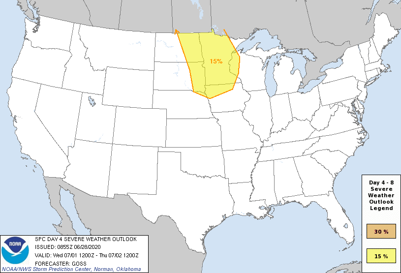
Discussion: cold front expected to move east overnight Wednesday into Thursday morning, triggering thunderstorms across southeastern Manitoba. It is uncertain whether a line of storms will move east overnight on Wednesday into Thursday morning or if new storms will develop on Thursday. This will depend on the timing of the cold front, which is uncertain at this time.