
Story by Lance Quackenbush
Edited by Francis Lavigne-Theriault
A cold airmass will continue to plague Central Canada into the next week as a ridge out east creates a blocking pattern over North America and a cold air over the Prairies. As a result, the jet stream will continue to sag south over central North America and yield temperatures much colder than normal from BC to Northern Ontario.

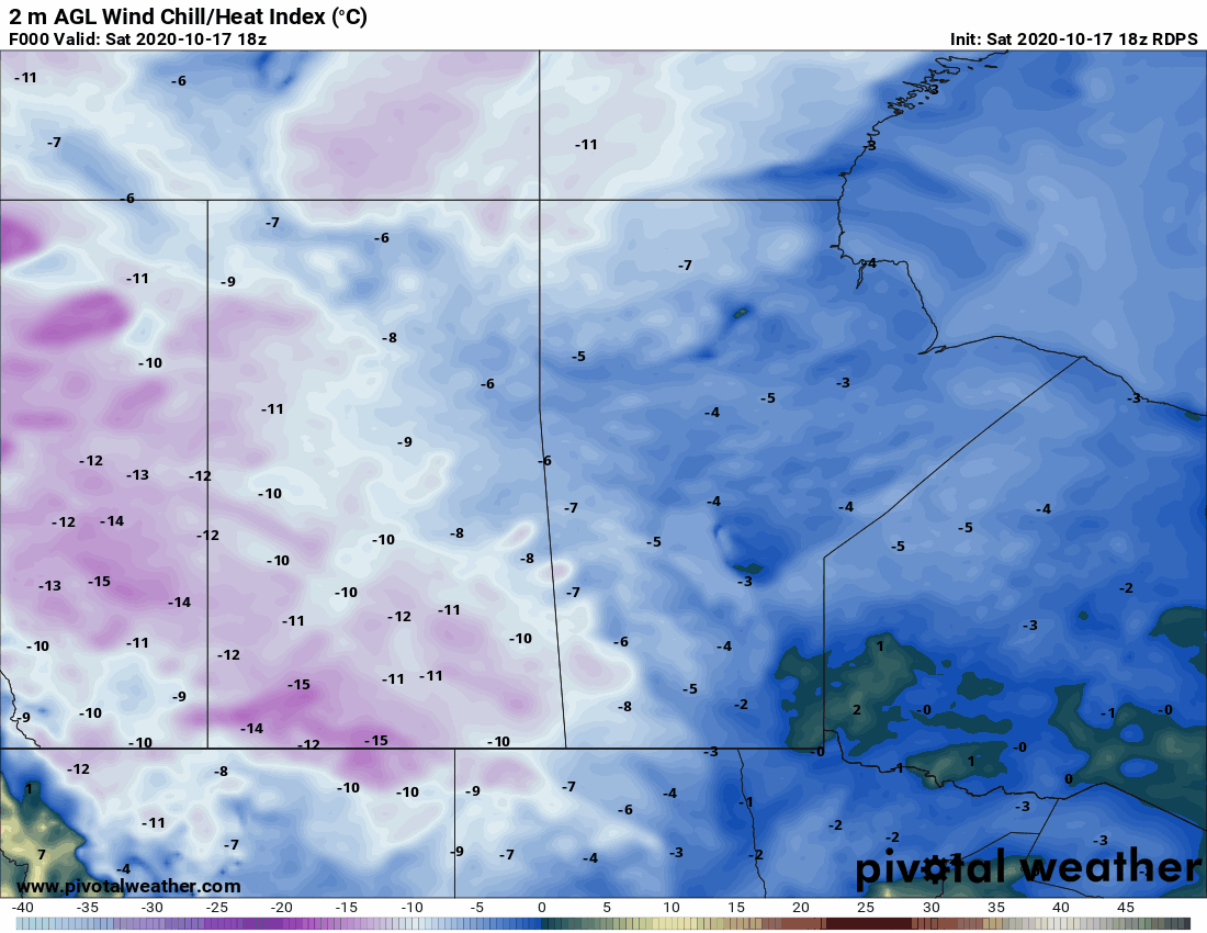
This week, some light snow will be possible for Southern Alberta Tuesday or Wednesday, but model variability makes confidence low for how much could fall. Generally, 5cm or less of snow could be on the table. The main story will be cold temperatures and wind chills, where nighttime wind chills will be in the double digits below zero for most of the Prairie Provinces from Sunday into Tuesday night.


A brief period of warmer weather looks to stick around for mid week, however another shot of colder air looks possible late in the week as a system drags down more arctic air from the north.

Overall, this pattern of colder than normal temperatures looks to stick around for the next week or so. A moderation to seasonal temperatures is possible going into November, mainly for the western part of the Prairies.